Approach 1 – Taylor Pullen
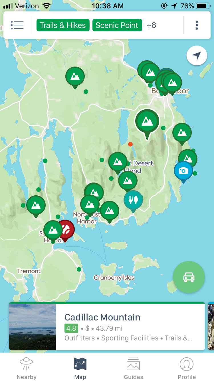
I would like to create an app that is almost like a google maps for trails and photo hotspots, with live updating of trail conditions via submitting and embedding photos and comments from various apps.
——————-
what is your concept/idea
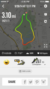
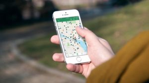
I really would like to create an app of some sorts that helps tourists in various areas find lesser known trails or lookouts. Most likely some sort of interactive map, where photos that are tagged in each location whether it be on Instagram, Twitter, or Facebook are automatically loaded/refreshed. It would be where people can leave individual trail reviews whenever they go to keep it updated and to be able to add in their own trails/hikes. In the event that the trail is illegal, possibly explaining loopholes around it. A place where locals can post lesser known lookouts for visiting people who may want to go off the beaten path. It would be cool to have GPS tracking included in it and have it be able to track you like a running app when you go on the hike to help direct people who may not be as familiar and so they can see what it looks like and how long it is from just viewing the map.
why this is important and for whom?
This can be helpful to locals and people visiting. Personally, I’m sure there’s plenty of awesome places to see and trails in Maine that I haven’t heard of simply because I haven’t found a super convenient way to look for them yet. I think this could be really helpful also in making sure people don’t get lost and that trail heads are clearly defined. Personally too many times have I had the intentions to go on a trail and had to turn back because I couldn’t find a visible trail head or figure out where it was, so it would be nice if photos could be uploaded of what it looks like. I almost want to create something that is an updated version of what Geocaching looked like, for those that remember.
what New Media/hacktivism strategies will you use and why?
Will have to create an app and somehow integrate a maps and GPS (location services) function. Possibly have to get around some privacy issues and find loopholes. Not to mention if any trouble is run into trying to integrate Facebook, Instagram, and Twitter. And if a trail is illegal whether I could personally get in trouble for condoning using them.
Who is the audience and how do you hope it will influence them?
The audience is the general public who just might want to go places. Hopefully it’ll influence them by just creating something more user friendly and make it easier for them to want to get outside.
Rough budget for material, time, space needed to build; this can be a bullet list:
list materials with cost
As far as I’m aware I won’t need a lot of materials unless I needed to hire an app developer. And/or some licensing issues I might have to pay for.
list time to actually make/create project
App creation, legal issues with privacy etc. Would most likely have to hire an app developer.
list tools, software, hardware, space or anything else needed
App building software, maps features, GPS features configured with iPhones/Androids.
You must be logged in to post a comment.